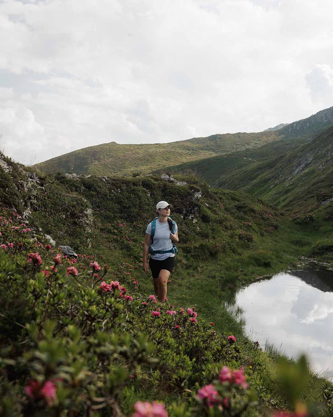
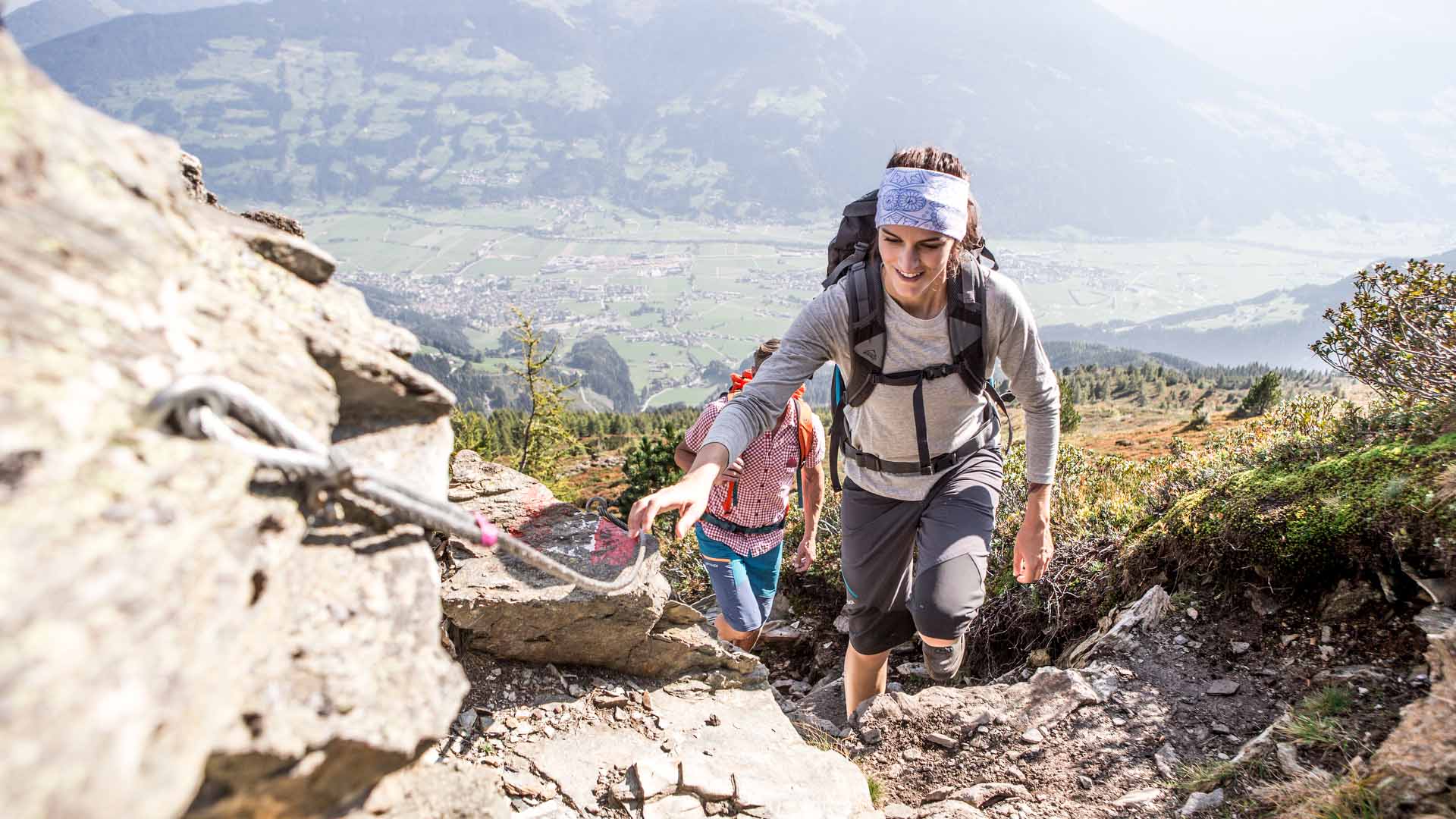
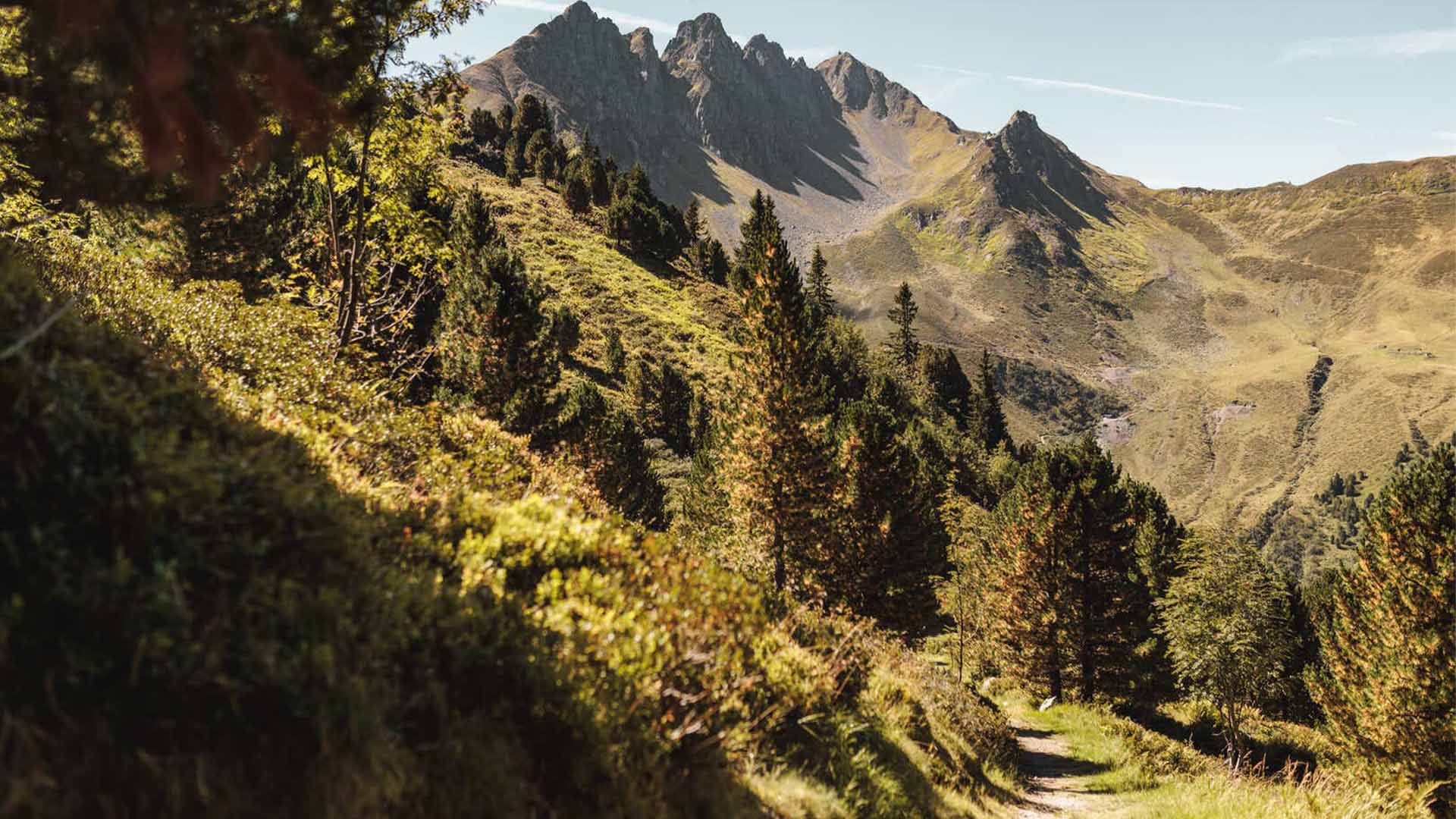
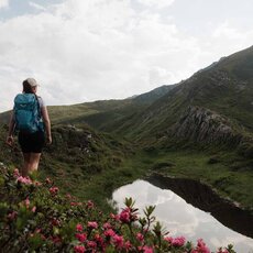
With a mixture of different levels of difficulty, everyone is guaranteed to find the right route on the Spieljoch. Some impressive hikes start directly at the Spieljochbahn mountain station. So it goes, on excellent hiking trails with panoramic views through the unique nature of the Zillertal.
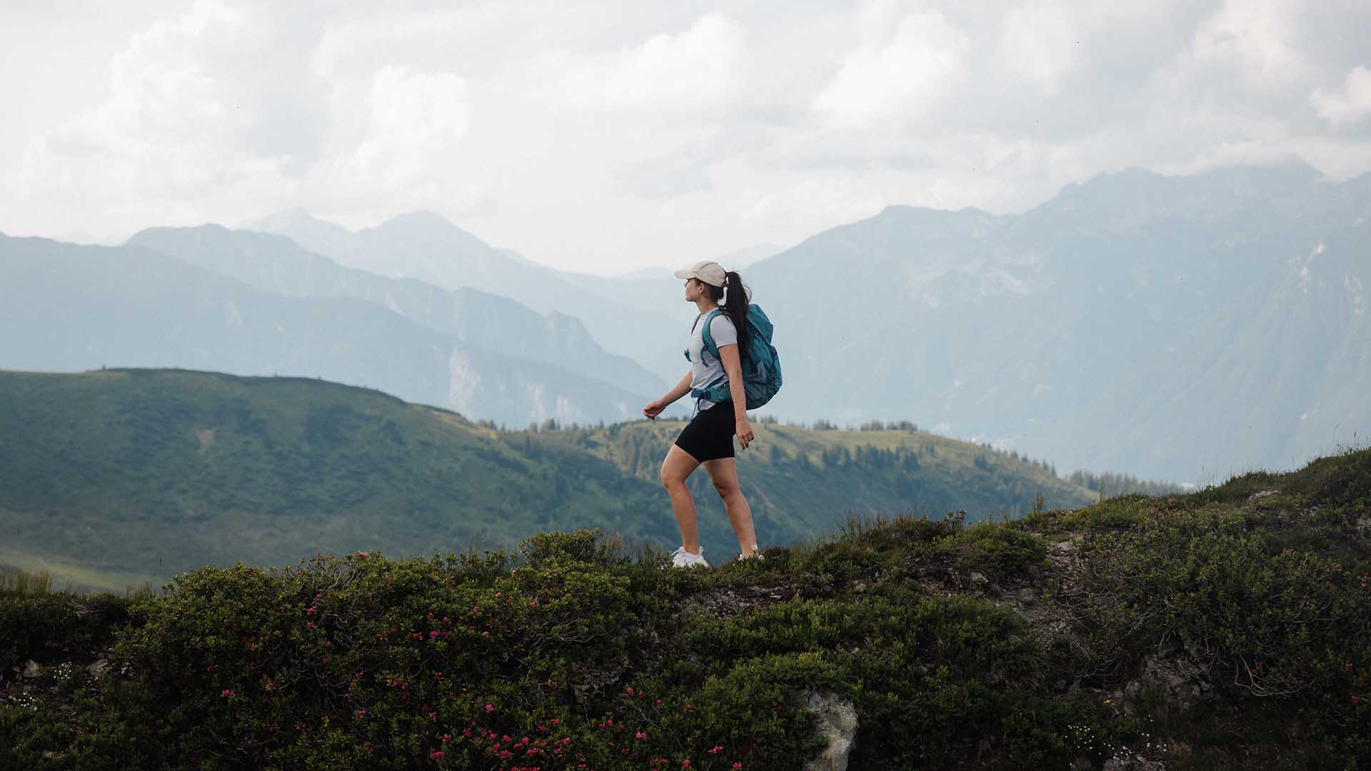
Hiking
Miracles of nature
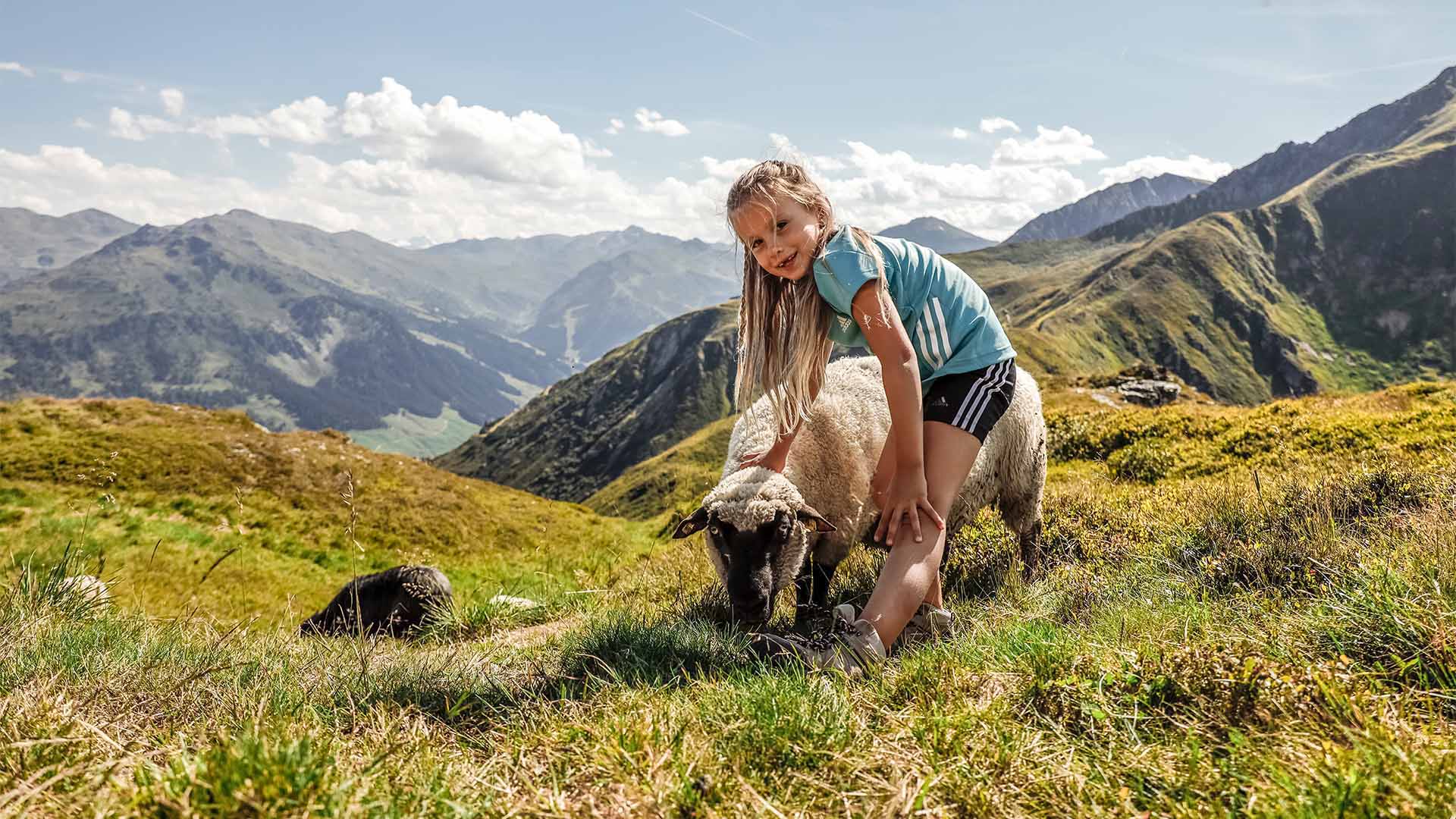
A Family-Friendly Hiking Paradise
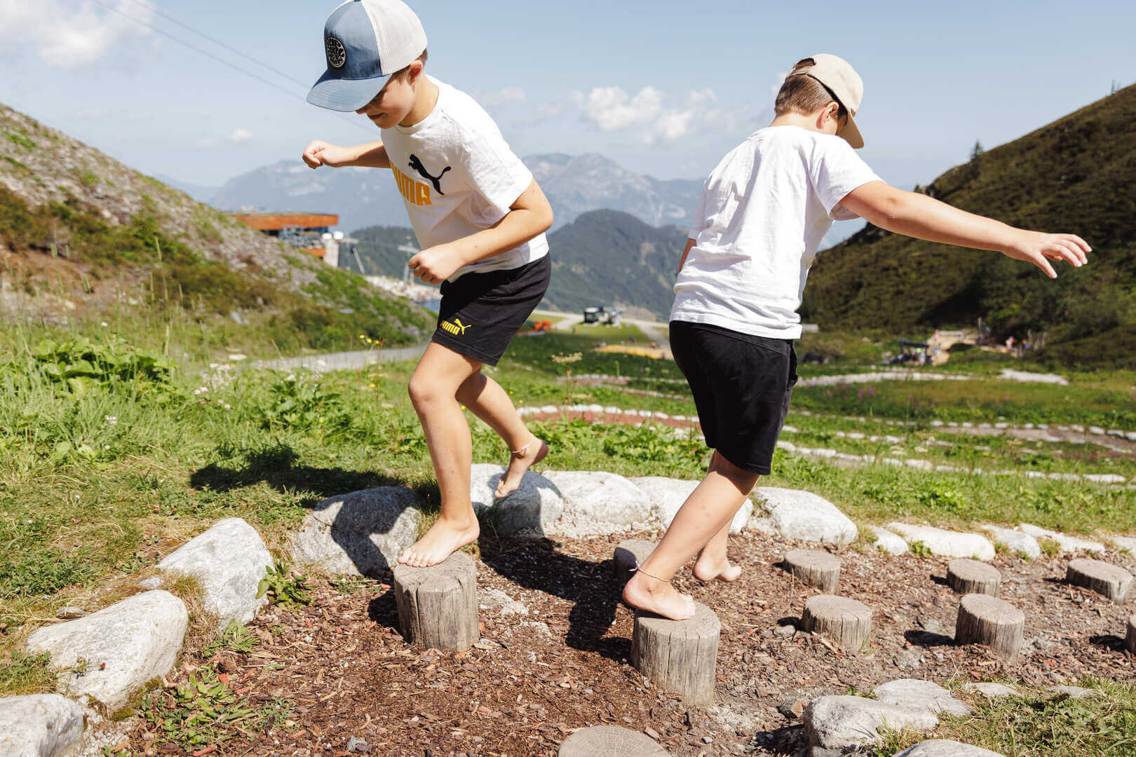
A family-friendly hike to the summit cross: Starting right at the mountain station, a wide, stroller-friendly gravel path winds gently for about 20 minutes to the summit cross, which is also easily accessible for people with limited mobility. Those looking for a bit more excitement can take the barefoot trail, which runs right alongside it and also leads to the summit cross.
4 Hiking Tips
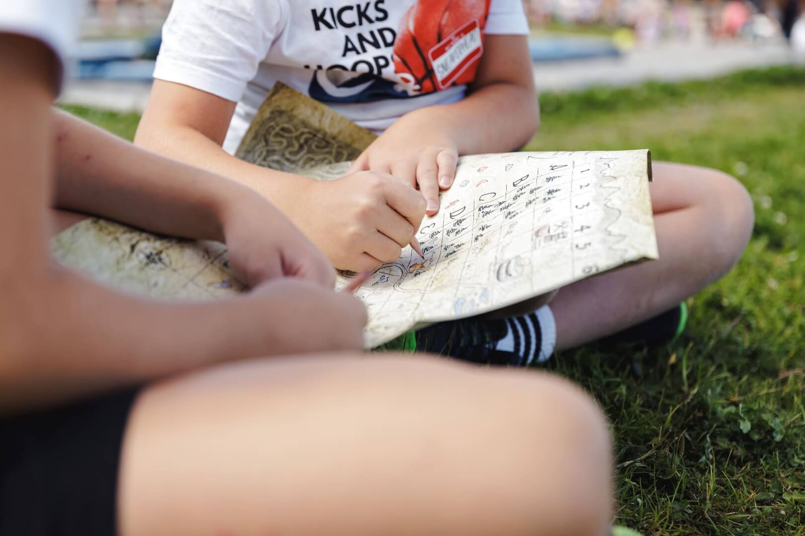
Interactive Hiking Adventure for families
This Interactive Hiking Adventure daredevils into a race for a mysterious inheritance on the Spieljoch in Fügen. The shrewd grandfather Mauritsch has come up with a very special will - with all kinds of potential for family strife. With a mysterious map, he sends his heirs, accompanied by the players via the Locandy app, on an eventful treasure hunt from the mountain station via the reservoir lakes to the middle station.
Summit cross Spieljoch
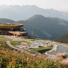
The Spieljochbahn takes you up to the mountain station at 1,860 m. From here, the wide gravel path suitable for prams meanders leisurely for about 15 minutes to the summit cross, which is also easy to explore for people with limited mobility. Those who would like to have a bit more excitement can take the barefoot path, which also leads to the summit cross right next door.
Spieljoch - Geolsalm circular hike
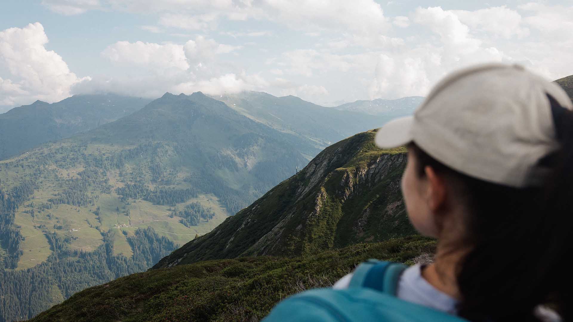
From the Spieljochbahn mountain station, the trail first leads downhill a short distance to the junction with the hiking trail to Geolsalm. The trail continues without ascending to the Geolsalm (1733 m). From the Geolsalm, the hiking trail leads uphill across alpine meadows to the summit of the Spieljoch (1920 m). From the Spieljoch it is only a few minutes back to the top station of the Spieljochbahn.
Difficulty: moderately difficult
Trail length: 4.6 km
Metres in altitude downhill: 205 m
Metres in altitude uphill: 205 m
Walking time: 01:30 h
Spieljochbahn mountain station - Schellenberg - Hochfügen
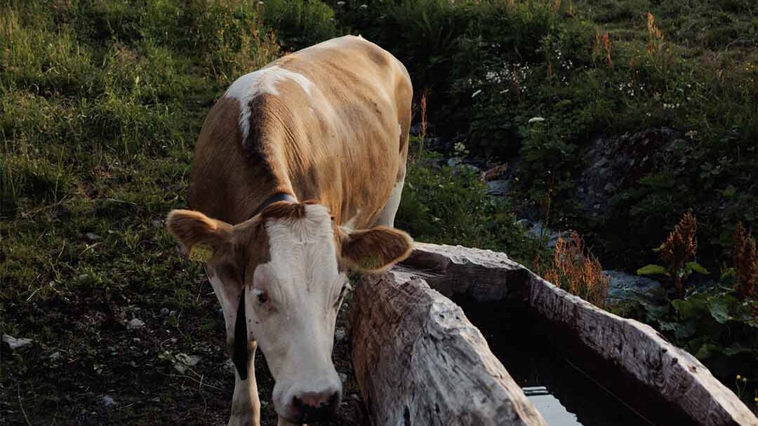
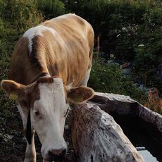
Take the gondola lift to the Spieljochbahn mountain station. From the mountain station the hiking trail leads to the Spieljoch - from there continue on the trail to the Geolsalm and then to the Gartalm (1830 m Hochleger). The Gartalm is a natural jewel. Cows and sheep are in the grazing area every day. With a bit of luck, you might even spot golden eagles, chamois, marmots, and snow hares, so it’s best to keep your eyes peeled. The 400-year-old alpine hut still shows traces from the time of silver mining. Mountain trail with award from the Tyrolean provincial government. From the Gartalm, the trail leads through treeless terrain to the Gamssteinhaus (Loassattel 1683 m) - past the Gamssteinhaus, the trail heads towards the Maschentalalm - Lamarkalm - and on to Hochfügen. Of course, you can also complete the hike in the opposite direction from Hochfügen to the Spieljochbahn mountain station. Take the free bus to Hochfügen and the Spieljochbahn back to Fügen.
Difficulty: moderately difficult
Route length: 10.2 km
Metres in altitude downhill: 595 m
Vertical metre uphill: 215 m
Walking time: 03:30 h
Spieljochbahn mountain station - middle station - Fügen
Take the cable car to the Spieljochbahn mountain station - from there the trail leads along the ski slope out of the valley past the reservoir to the ski hut and then either follow the wide road in a northerly direction or the forest trail downhill (difficult trail) to the Spieljochbahn middle station. To the valley station, the trail leads along the valley path past the Trojerhöfe farmsteads, from where you can take the forest path back to Fügen, either along the forest path or in the direction of the Sonnberg snack station.
Difficulty: moderately difficult
Route length: 3.6 km
Metres in altitude downhill: 0 m
Altitude difference uphill: 560 m
Walking time: 02:15 h
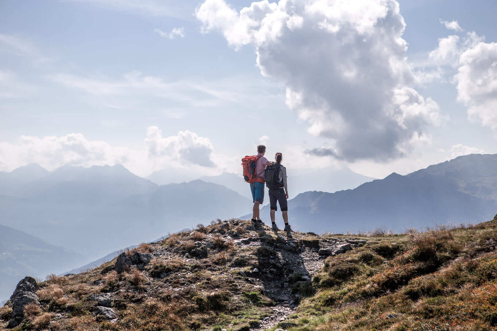
Spieljoch - Kellerjoch circular hike
From the Spieljochbahn mountain station, the trail first leads to the Geolsalm and then to the Gartalm (1830 m Hochleger). From there the trail leads through treeless terrain (watch out for the markings on the trail - rocks or stones) to the Kellerjoch hut. The Kellerjoch is the most beautiful panoramic mountain in the Inn Valley (2344 m high). From the Kellerjoch hut you can either hike along the Alpine trail (AV trail 312) to the Spieljochbahn cable car or take the same trail back.
Difficulty: difficult
Route length: 10.5 km
Metres in altitude downhill: 660 m
Metres in altitude uphill: 660 m
Walking time: 04:00 h
ATTENTION: If you choose the way back via the alpine path to the Spieljochbahn, first talk to the landlord of the Kellerjoch hut! This route is ONLY for experienced mountaineers with equipment. - (approx. 5 hrs.)

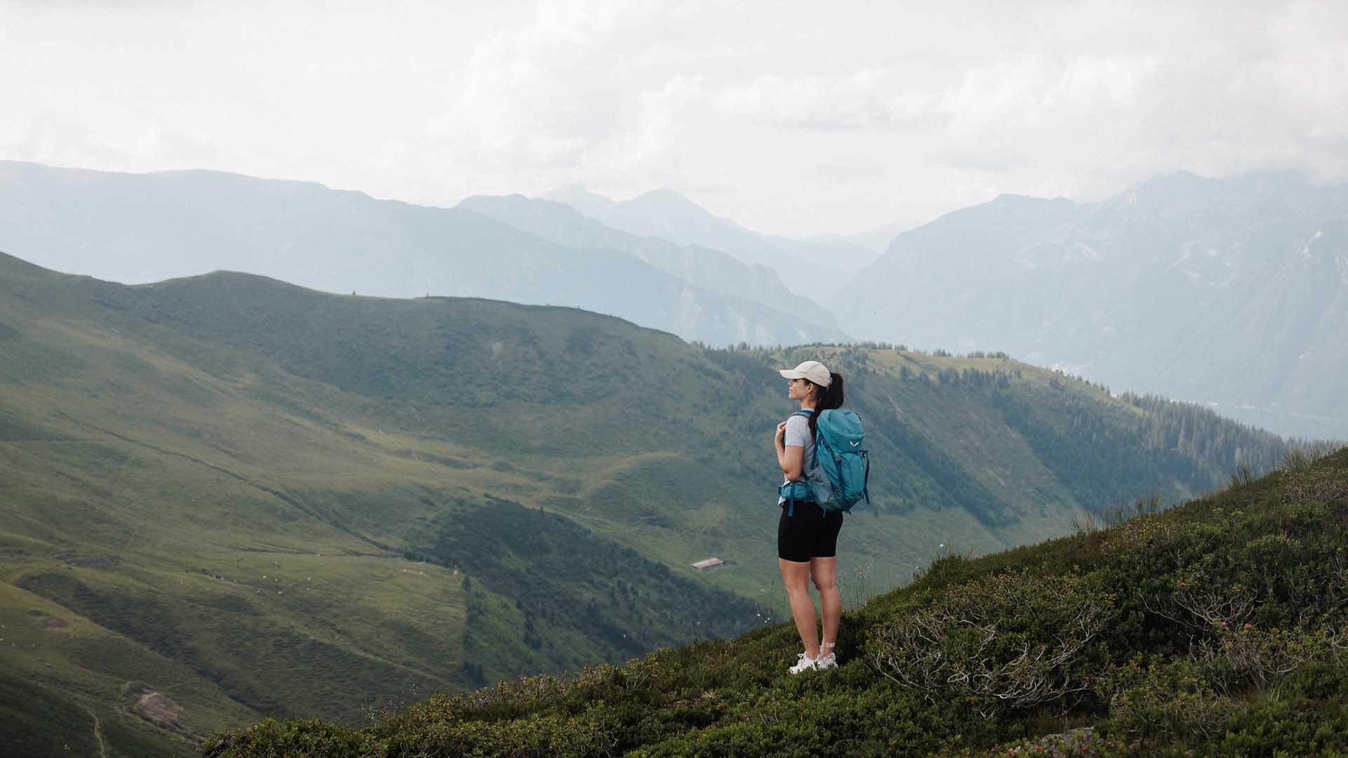

Trailrunning
Immerse yourself in the fascinating world of trail running as you explore the breathtaking mountain landscape around Spieljoch. With its impressive panorama, Spieljoch offers the ideal terrain for all trail running enthusiasts, whether beginners or experienced runners. Experience the challenge of alpine trails, feel the power of nature, and enjoy the incomparable feeling of being one with the mountains. Ready to conquer the trails at Spieljoch?